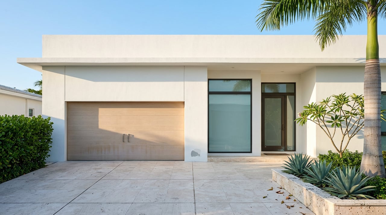
How Tropic Isle Delray Beach Street Construction Varies by Block
August 13, 2026
August 13, 2026
Drive the interior streets of Tropic Isle after a big full moon tide and you will see it before you feel it in the car: a shallow sheet of water sitting where the asphalt dips toward a seawall, a driveway apron with a hairline crack tracing the exact line where the pavement settled into the soft ground beneath it. Homeowners here have learned to read these signs the way sailors read clouds. The fix, when it comes, will not look the same from one street to the next.
The City of Delray Beach has been working on a Roadway and Underground Utility Improvements Project for Tropic Isle since at least late 2023, when the first public information meeting was held on December 7 of that year. Nearly three years later, the project is still in design. That is not a sign of neglect. It is a sign of how hard it is to reconcile two engineering conclusions that point in opposite directions, and understanding that tension helps explain what to expect on your own block.
Before this project existed, the city ran a street evaluation study covering most of Tropic Isle's roadways. The problem it was built to solve was pavement failure. Tropic Isle's streets sit on muck and loosely consolidated soils left over from the dredge-and-fill work that created the neighborhood in the first place, and that soft ground has been chewing through asphalt for decades. The evaluation study's recommendation was straightforward: leave the existing roadway elevations alone and avoid disturbing the muck any further than necessary.
Then came a separate problem. Tropic Isle sits against the Intracoastal Waterway, and the city's 2019 update to its Stormwater Master Plan modeled what happens to these same streets during high tides, king tides, and the sea level projections the city is planning around. That model reached the opposite conclusion from the pavement study: raise the roads, and flood depths during high water events drop.
The design team building the current project had to sit between those two studies. The result, according to the city's own project description, is a split approach. Some streets will be reconstructed and raised several inches above their current grade, where the ground allows it. Others will be resurfaced at their existing elevation, muck disturbance kept to a minimum, because raising them isn't feasible without the kind of soil work the original pavement study warned against.
The project isn't one fix applied evenly across a neighborhood. It's two different engineering judgments, reconciled street by street.
That distinction matters if you live here. It means a neighbor two blocks over could end up with a driveway that sits several inches higher than it does today, while yours stays at grade. Neither outcome is better or worse on its face. It simply depends on what the soil under your specific stretch of road will tolerate.
Whether a given street gets raised or resurfaced at grade, the scope of work underneath it is the same. The city's plan calls for:
The plan also addresses driveways separately from the roadway work. Portions of existing driveways that fall within the public right of way will be reconstructed to connect properly to the new road surface, and the stated intent is to match existing driveway materials where feasible. If your driveway is stamped concrete or pavers today, the goal on paper is to reconnect it with the same finish rather than a slab of plain asphalt patched into your entryway.
The project description includes a detail about how the drainage system is designed to respond to high tides: backflow preventers are planned for installation on the existing drainage outfall pipes that run from the streets into the canals. Their entire purpose is to stop canal water from pushing backward through those pipes and onto the pavement during high tides.
That is a precise engineering response to a documented behavior, not a vague hedge against future risk. Anyone who has watched water rise out of a storm drain rather than into one during a king tide has seen exactly the mechanism this component is meant to interrupt. It is a small piece of hardware relative to the repaving and pipe work planned around it, but it is the part of the project most directly tied to the tidal dynamics that make Tropic Isle's canal-front geography what it is.
As of the city's most recent update, the project remains in the design phase. The most recent visible movement came in April 2026, when the Delray Beach City Commission approved Amendment No. 3 to its engineering services agreement with Kimley-Horn and Associates, authorizing additional design work for Phase II of the project at a cost not to exceed $62,101. That is a modest dollar figure by municipal standards, and it signals incremental progress rather than a project sitting idle. Design phases for underground utility work in soft coastal soil tend to move in small, careful steps, and this is one of them.
There is no publicized construction start date yet, and residents should treat any specific timeline they hear secondhand with some skepticism until the city posts one directly. The project's own page is the most reliable place to track it, and it's worth bookmarking rather than relying on word of mouth around the neighborhood.
The canal system this project is engineered around is the same one that turns into the neighborhood's front-row seat once a year. The Holiday Boat Parade that runs between Lantana and Delray Beach forms at the Ocean Avenue Bridge in Lantana each December and travels south along the Intracoastal to the C-15 Canal in Delray Beach, just south of Linton Boulevard, which puts the parade's finish line essentially at Tropic Isle's back door. Homes on point lots and Intracoastal-facing canals here don't need to drive anywhere to watch the flotilla pass. They watch it from their own seawall.
That contrast, a neighborhood built on soil unstable enough to require a multi-year, two-study engineering compromise just to keep its streets dry, and a waterway calm enough most nights to host a parade of decorated boats, is the same water doing two very different jobs depending on the season and the tide table. It's a fair summary of what it actually means to live on a dredged canal community from the 1950s. The Tropic Isle Civic Association, a voluntary group covering the neighborhood's roughly 430 single-family homes at $50 per household per year, isn't the entity driving the road project, but it remains the closest thing to a community bulletin board for residents trying to track what's happening on their own street versus the one next to it.
None of this changes what makes Tropic Isle Tropic Isle. The deep water canals with no fixed bridges, the direct runs out to the Boynton Beach and Boca Raton inlets, the mix of original ranch homes and new construction on the same blocks, all of that stays exactly as it is while the ground underneath gets quietly reinforced. Knowing which category your street falls into, raised or resurfaced, backflow-protected or not yet scheduled, is simply the kind of detail that turns a City Hall project page into something useful for the people actually living with the results.
If you're weighing a move within Tropic Isle, evaluating a waterfront property here, or just want a second opinion on how infrastructure work like this tends to play out for resale and daily life on a specific block, Michelle Sadownick has spent years tracking exactly these kinds of neighborhood-level details across Delray Beach's canal communities. Schedule a Private Consultation to talk through what it means for your street, your dock, or your next move.

When you work with Michelle, she consistently goes the extra mile to provide the highest level of service while building strong relationships, and is genuinely excited to help you achieve your real estate goals.
900 E Atlantic Ave #18 Delray Beach, FL 33483